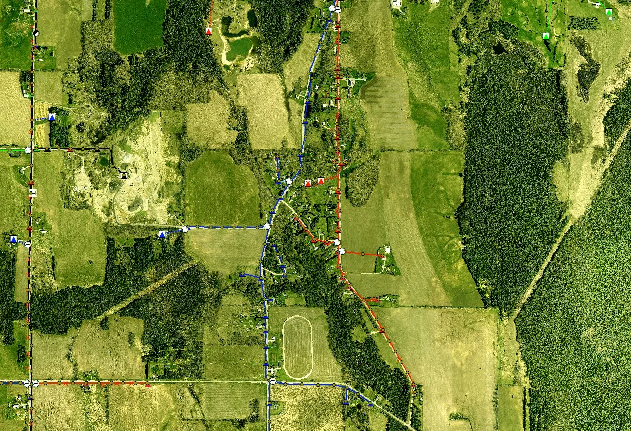
Geographic Information Systems (GIS)
We utilize Esri® products or open-source software to build powerful GIS solutions with extensive possibilities.
INTEGRATION AND MANAGEMENT:
Member Information
AMI Data
Electrical System Device Data
Inspection and GPS Inventory Data Collected
AVL (Automatic Vehicle Location) Data
Outage Management Data
Update Map Systems Using Staking Work Orders
Create and Maintain Electric Geometric Networks
Esri® Server/Portal Configuration Deployment and Security
Data Management Using Automated Process
MAPPING SYSTEM CONVERSIONS:
Electronic and Paper Formats to a MultiSpeak® Based Data Model
Assist in Choosing Software Products that Best Utilize Your Data
WEB AND MOBILE PRODUCTION:
CarryMap by Data East
Field Maps for ArcGIS®
Custom Web Maps Using ArcGIS® Online, Portal for ArcGIS®, or License Free Software